Discover some of the wildlife that thrives in the Halvergate marshes, along the River Yare and Breydon water. This trail will pass through some of the man-made and managed landscapes that East Norfolk is famous for. Keep an eye out for wintering birds and resident wildlife whilst delving into the history of the surrounding infrastructures that keep the tidal waters of the North Sea at bay!
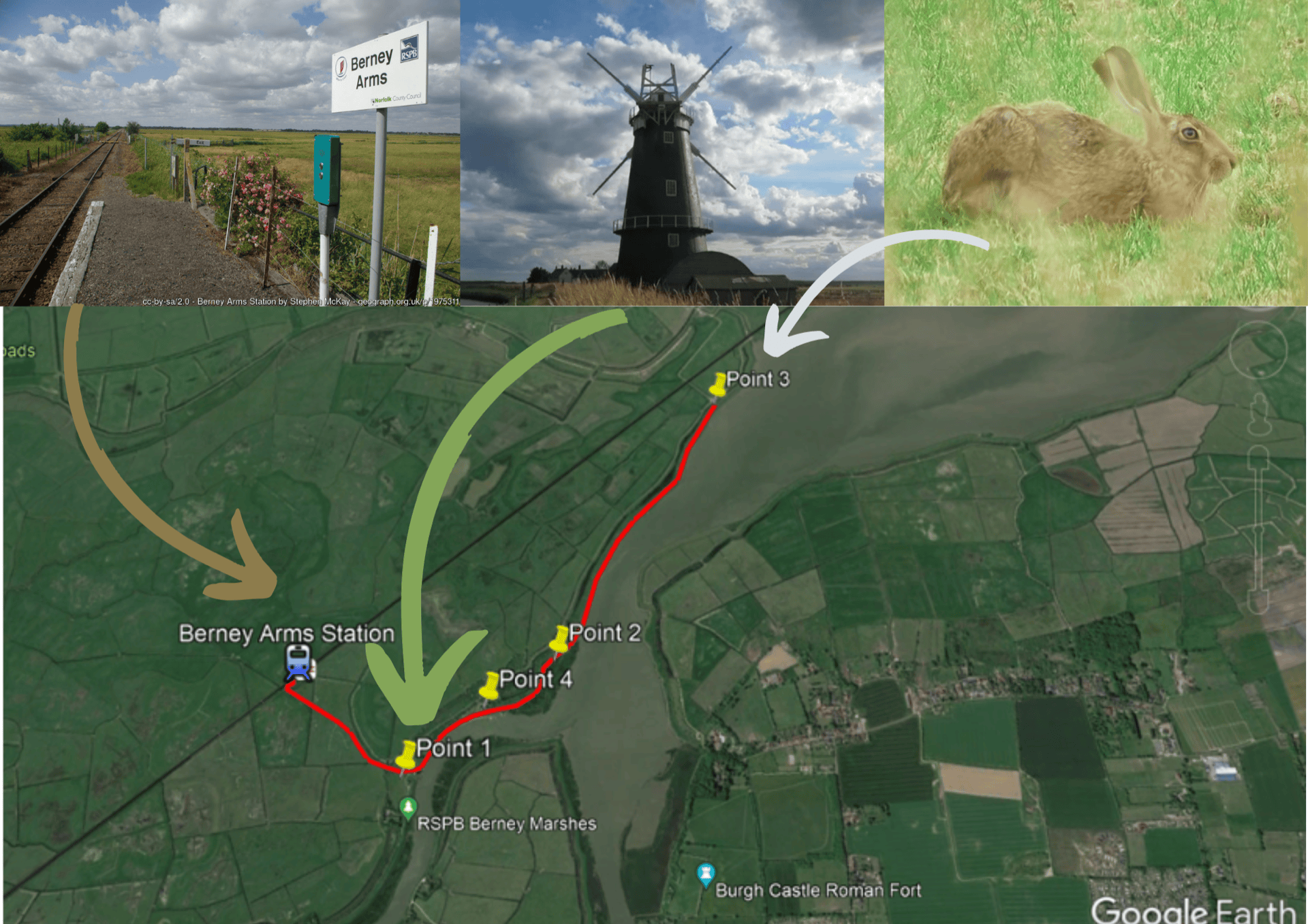
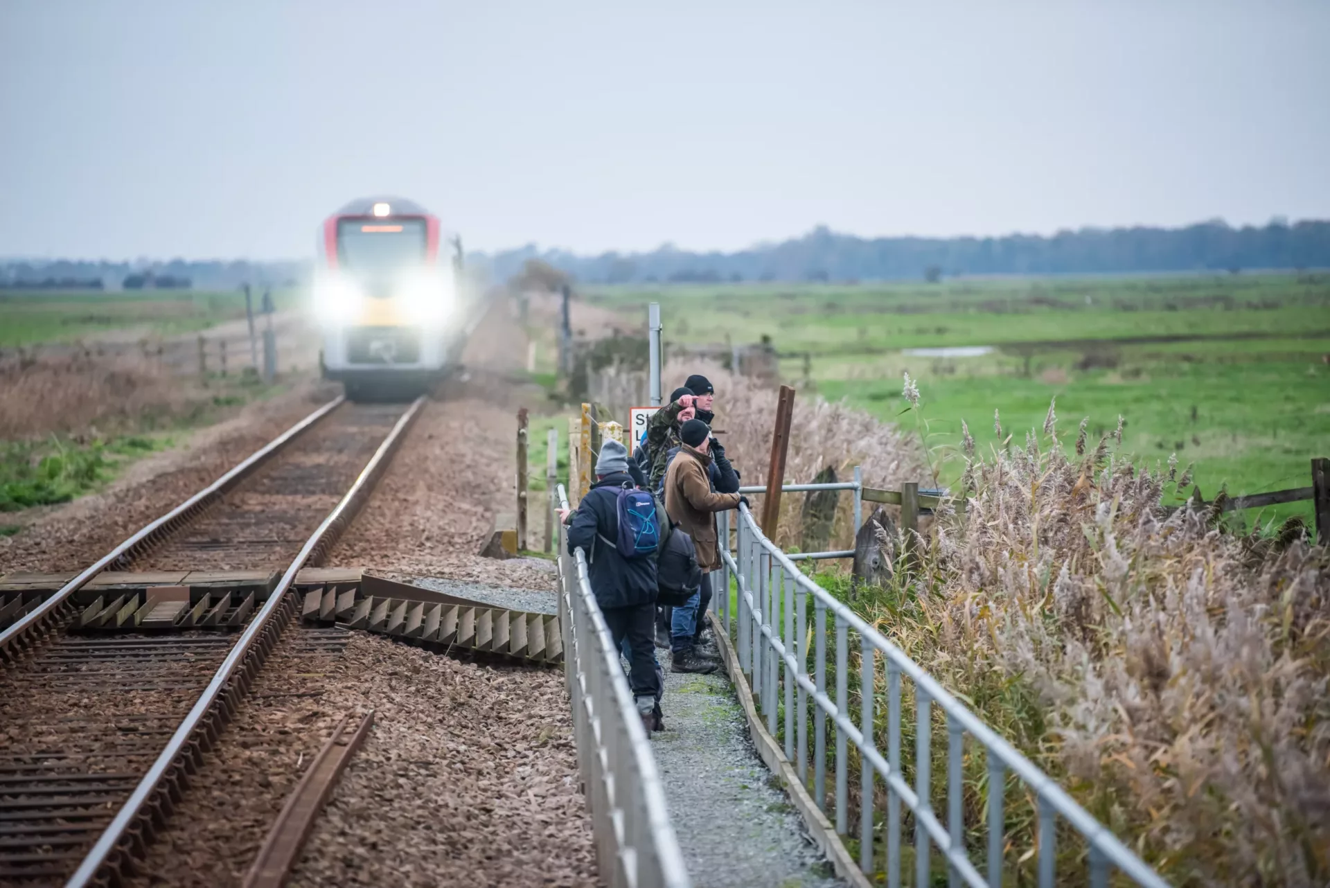
Start your journey at Berney Arms Station, a request-only stop on the line between Great Yarmouth and Norwich. After departing the train, join the Wherryman’s Way long distance path (which is signposted at the station) and head southeast. Along this section of the route, be sure to pay attention to any wetter areas of the surrounding fields as these provide sanctuary for vulnerable wintering and resident birds, especially during high tide.
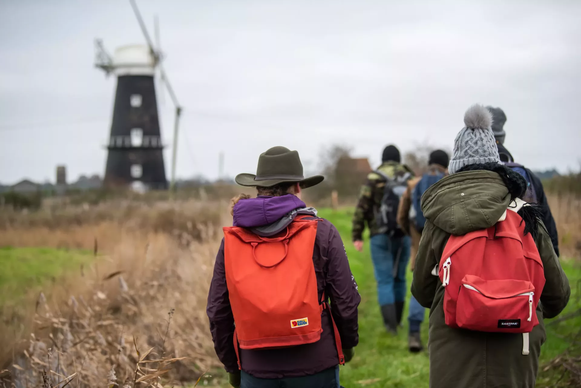
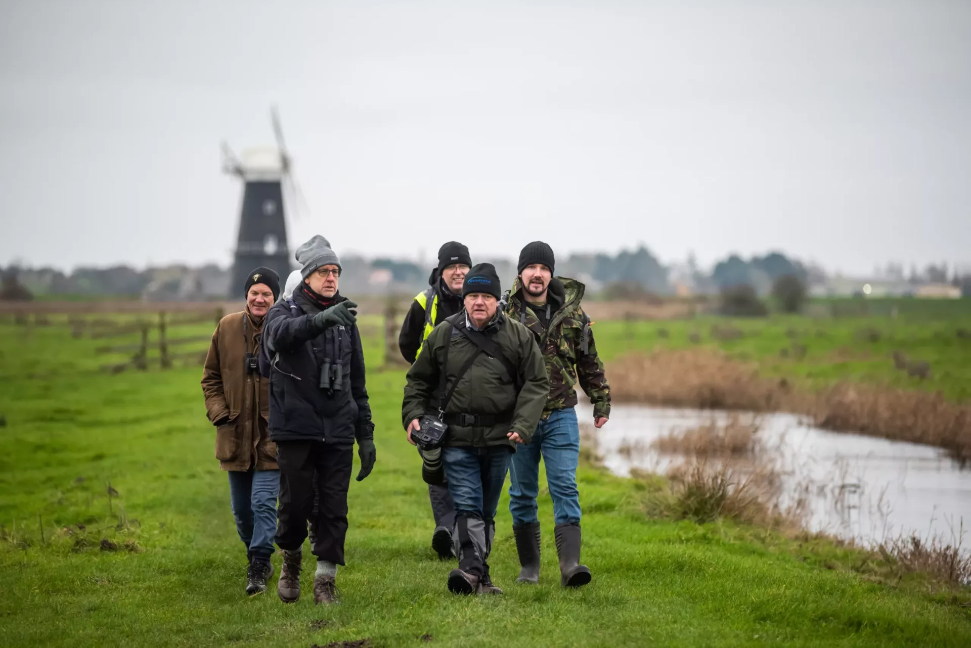
After around one third of a mile, you will reach Berney Arms Windmill and the bank of the River Yare (marked as point 1 on the map below). The mill was built in 1865 to grind materials used in cement but was converted in 1883 in order to pump water from the marshes. This is the tallest drainage mill in Norfolk and is scheduled to be refurbished in the near future. From the raised bank near the mill, take a break and look around to catch sight of beautiful views of Langley Detached Mill, also known as the red mill. You may also spot Six Mile House Mill in the distance.
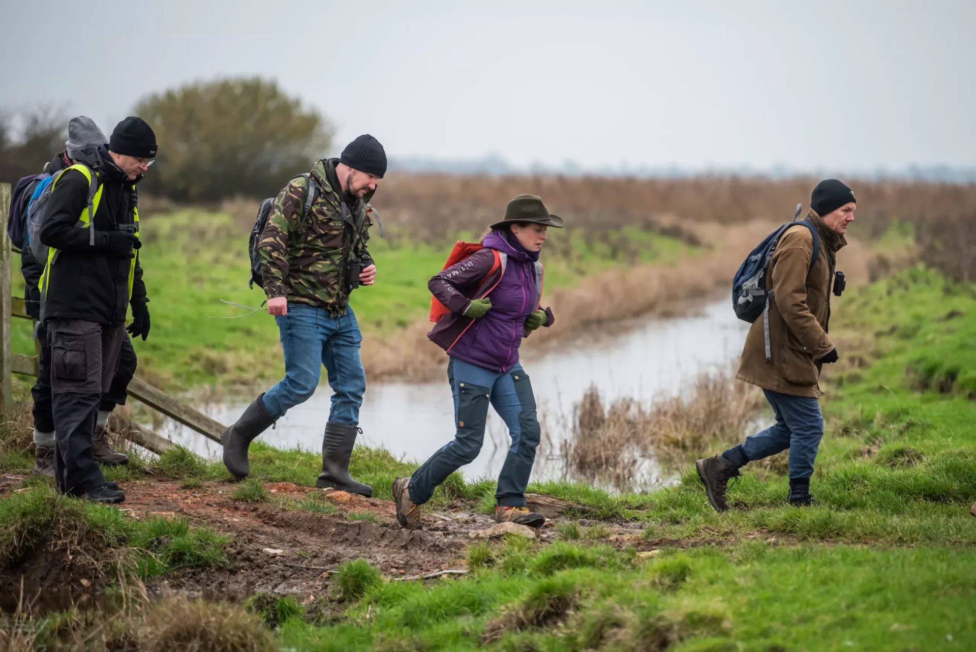
From there, the route heads northeast along the raised bank of the River Yare. Along the route, you will head past boat moorings and the closed down Berney Arms pub and will arrive towards the first mud flats of Breydon water. As you reach point 2 on the map, take a rest and look southwest where the River Waveney joins Breydon Water. Just above the water lies a raised mound upon which the remains of Burgh Castle Roman Fort stands. The fort was built around 1600 years ago and was probably used, alongside a fort in Caister, to control entry in and out of the River Waveney, Bure and Yare. If you are in this spot as the tide turns, you may notice many species of wading birds following the receding waterline looking for meals in the invertebrate-rich mud.
As the route continues northwest, you will begin to see more of Breydon Water and may (on a clear day) notice some of the features of Great Yarmouth’s skyline – Havenbridge house, the white structure of Breydon Bridge and even the Atlantis Tower on the Golden Mile. This raised ridge also gives a great vantage point over the mudflats and back towards the marshes. Keep an eye out for Chinese water deer, large flocks of wintering geese and brown hares. When you reach point 3, this is the furthest point of the route and the perfect spot to take in 360-degree panoramic views!
From there the route goes back on itself, passing by a suitable place to stop by for a picnic at Berney Arms Boat mooring (Point 4 on the map) and ending back at Berney Arms Station where trains can be caught to Great Yarmouth and Norwich.
To get warmed up, embark on a virtual tour of the walk led by Liam from a Shot of Wildlife: The Hidden Nature of the Norfolk Broads: A Wildlife and Mills Walk at Halvergate Marshes – YouTube
The Halvergate Marshes:
The Halvergate Marshes, located between the uplands in the West around Reedham, Halvergate, Acle and Great Yarmouth in the East are the largest section of drained marshes in the area, a defining characteristic of the Broads landscape.
Two thousand years ago, this area was a vast estuary made up of mudflats, creeks and rivers that flooded at high tide. Over time, water levels dropped, and people began to drain the landscape for grazing. This landscape is mostly below sea level, and over the last several centuries local people have been draining the marshes by cutting ditches and dykes and using engineering solutions to pump the water off the marshes to keep them from flooding. The most visible reminder of this engineering are the iconic drainage windmills, which still tower over the marshes and dykes below. The marshes are still actively drained, but where once brick and wooden windmills creaked to lift the water into the rivers to flow to the sea, electric pumps are now in use (still powered by the wind, via turbines located offshore).
Today the Halvergate Marshes are a haven for wildlife, and it is also a fertile grazing ground for horses, cattle and sheep, who enjoy the milder weather of Norfolk and nutritious grasses fed by the high-water table and peaty soils. The marshes offer vast panoramic views and is a perfect spot to escape the busy city located only a few miles away.